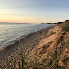
Thanks to its location in the foothills of the Rocky Mountains, the picturesque town of Boulder, Colorado is a popular destination for hikers and nature lovers.
But having epic beauty and extensive networks of trails on your doorstep can make it difficult to know where to begin – especially if you’re new to the area or haven’t hiked much before.
Here are three of the best spots for full-day or half-day hiking within easy reach of town. They’re all popular, so if possible, visit on a weekday to avoid the crowds.
Mt Sanitas
Mt Sanitas is a Boulder institution, just 20 minutes’ walk from the downtown hub of Pearl Street. Its variety of easily accessible and well-maintained trails make it a great choice for your first hike.
If you’re not confident about your fitness, start off with the wide, relatively flat 1-mile Sanitas Valley Trail, or the parallel (slightly tougher) Dakota Ridge Trail. This can help you adjust to the town’s 5,300-foot (1,600-metre) elevation if you normally live at sea level, and even from these lower paths you can enjoy the idyllic scenery.
For more of a challenge – and even better views – you’ll want to tackle the 6,863-foot peak itself. Two main trails lead to the summit: the Mt Sanitas Trail and the East Ridge Trail. Take either trail out-and-back or link the two together to make a loop.
At 1.6 miles, the Mt Sanitas Trail is the longer of the two, while East Ridge is shorter (0.7 miles) but steeper. Either way, the total elevation gain is about 1,300 feet, so you’ll get a good workout.
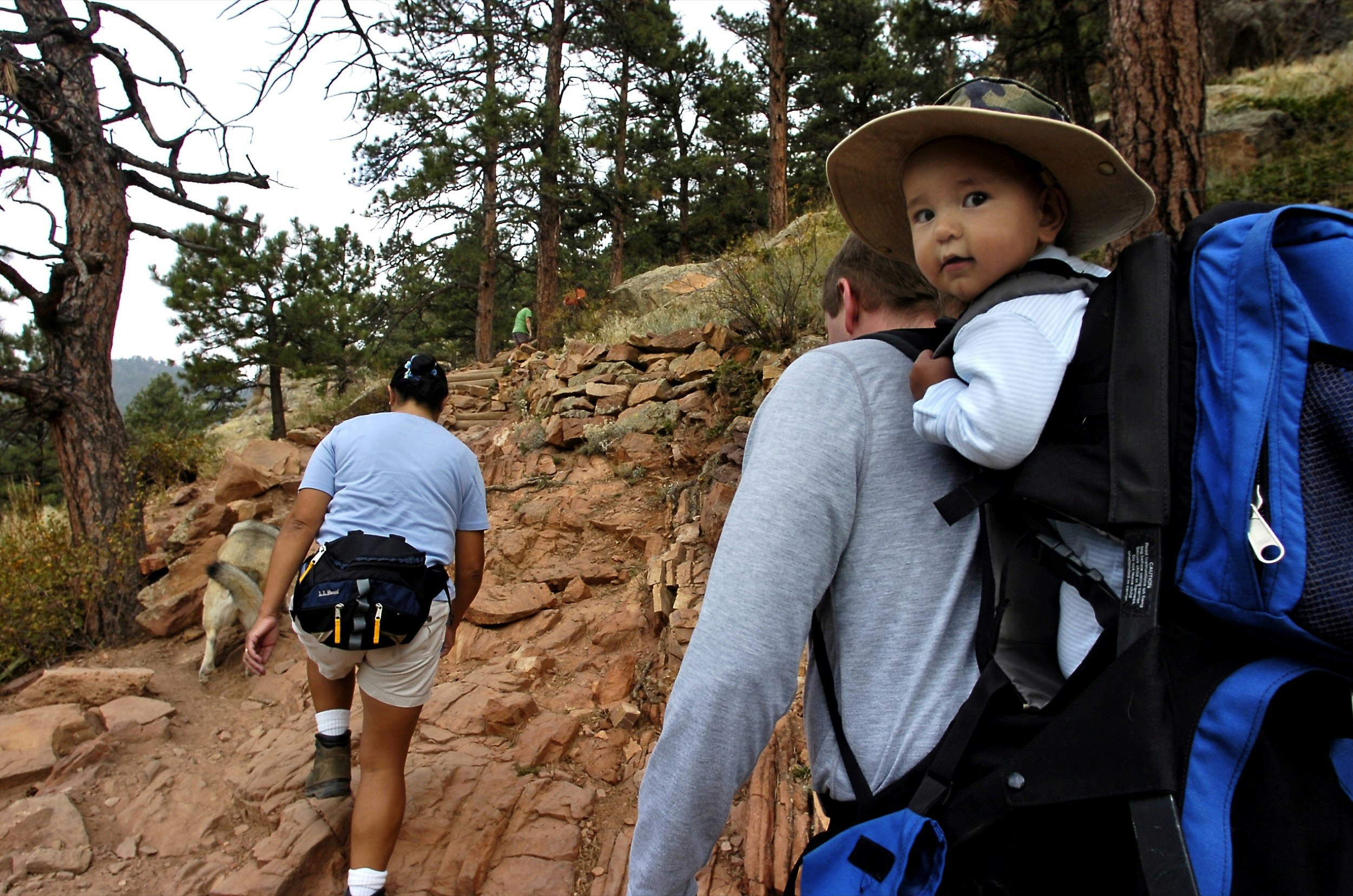
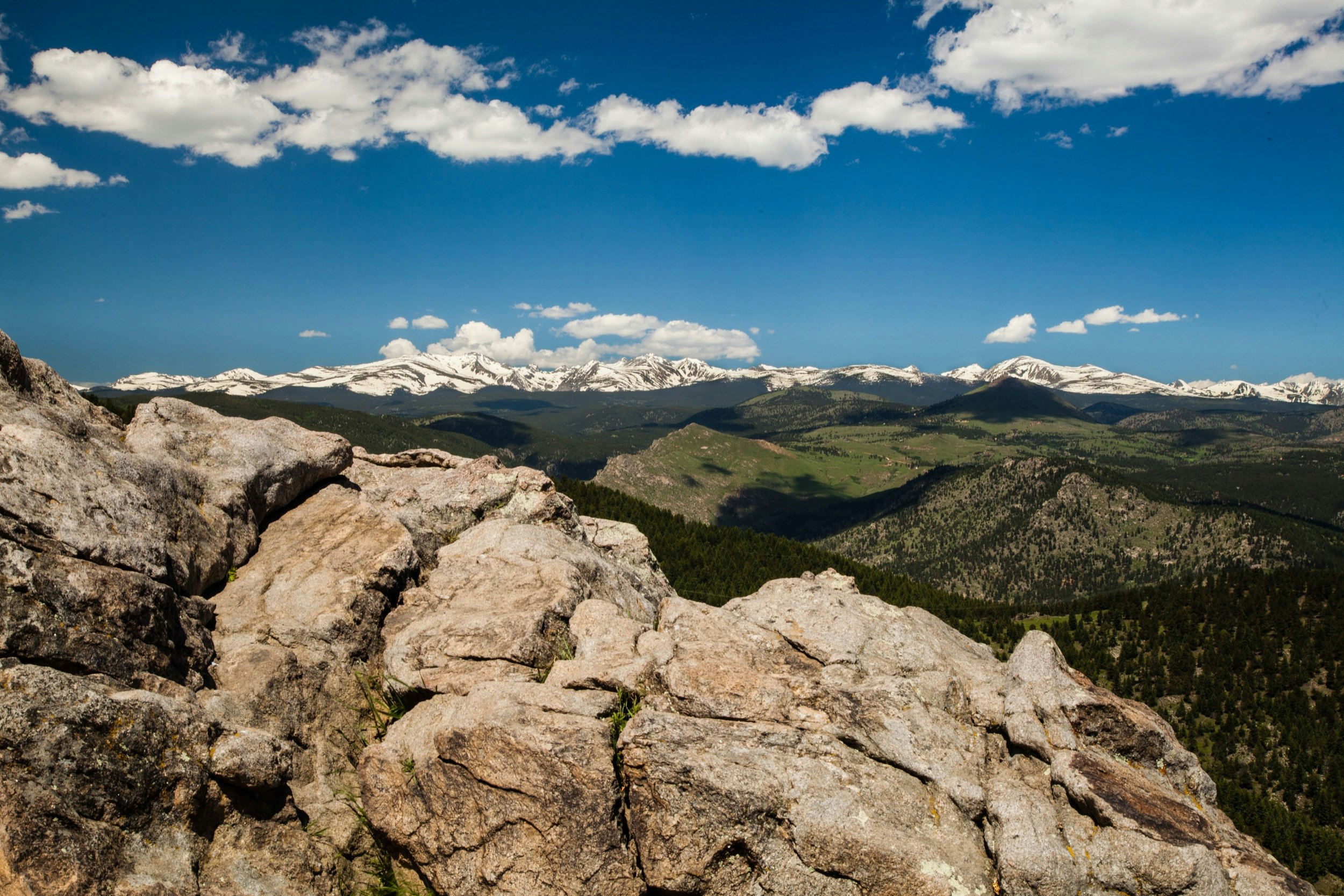
The trails themselves are narrow paths of copper-colored earth lined with tall pines. Expect some light scrambling over the rocks – nothing too technical, but watch your footing, especially on the descent. From East Ridge you get sweeping views over Boulder and all the way to Denver on clear days, while the Mt Sanitas Trail gives you a glimpse west toward the towering snow-capped peaks of the Rockies.
Chautauqua Park
The gateway to Boulder’s iconic Flatirons, this vast, stunningly beautiful area is the starting point of a sprawling network of hiking trails. These range from gentle routes through the forest to steeper, more strenuous treks into the mountains, so there’s something for everyone.
The easiest routes are those in the south-east of Chautauqua, including Enchanted Mesa, Woods Quarry, and the various Bluebell paths. These are great choices for getting used to the elevation in Boulder, but still have gorgeous views over the grassy plains towards the Flatirons, or the lofty pine forest.
One of the most challenging – and rewarding – routes is the Royal Arch trail. It’s an out-and-back trail culminating at a dramatic natural sandstone archway, where you’re rewarded with breathtaking views of the natural features as well as the surrounding area.
The round trip is 3.2-3.9 miles depending on which access trails you take, with 1,400-1,500 feet of elevation gain. The forested trail can be tough at times, with steep sections, loose rock, scrambling, and plenty of steps. Take it slow if you need to, drink plenty of water and make use of the rest spots like the false summit of Sentinels Pass. The effort is more than worth it.
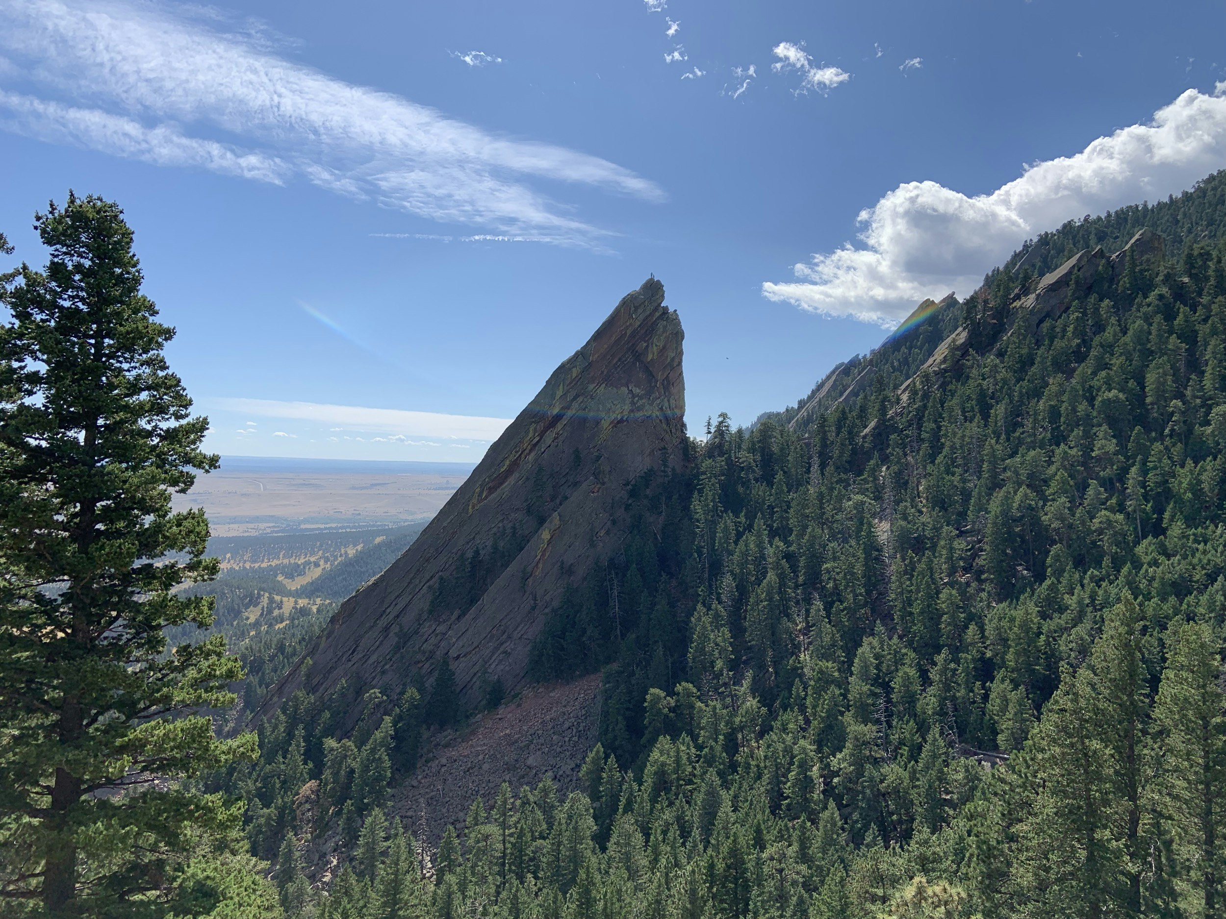
Keen hikers won’t want to leave Boulder without having a go at the Flatirons themselves. Chautauqua is home to a fantastic 2.5-mile out-and-back hike taking you between the first and second Flatirons, with unmatched views on all sides.
The trail is rocky and steep in places, with plenty of switchbacks and some scrambling. It takes you right up close to these dramatic shards of striated sandstone, plus gives you great views of the imposing third Flatiron in profile – look closely and you might see some brave climbers making their way to the top. The trail ends just below the tip of the first Flatiron, where you can find a nook in the rock to have a picnic and admire the Rockies in the distance.
Flagstaff Mountain
Flagstaff is Boulder’s fourth-highest peak at 7,283 feet, conveniently located on the edge of town. It’s unique in having a road all the way to the summit, which expands the hiking options considerably.
If you want to make the full trek, there’s a roughly 3-mile route that will take you all the way from town to the summit. Beginning on Viewpoint Trail, you’ll first head up a switchbacking path to Panorama Point. Thanks to the sparse tree coverage on this section, you can enjoy great views of Boulder right from the start.
After that the path heads higher and higher, crossing the road several times as you criss-cross the mountainside (keep an eye out for traffic). The route is steep in places, but not technical, and becomes more forested the higher you go.
The fun doesn’t stop when you reach the top – there’s a whole network of trails looping around the summit area, offering panoramic views from all sides of the mountain. You also can drive to the top (or take an Uber/Lyft) and follow some of these shorter, less strenuous paths.
Ute is a pleasant forest stroll, while Range View overlooks the distant peaks of the Rocky Mountains. Together they make a 1.2-mile loop that can be either a standalone hike, or an addition to your Flagstaff climb. Alternatively, if you really want to challenge yourself, head south to tackle the mighty 8,144ft Green Mountain.
Related coverage