Advertisement

La Gran Piedra, Sierra Maestra, Cuba. Shutterstock
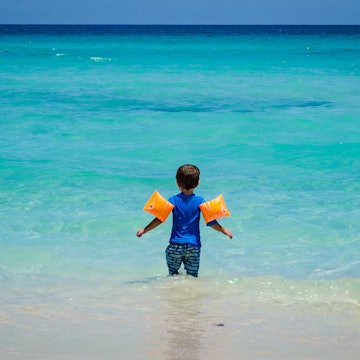
While Cuba is best known for its sandy beaches lapped by see-your-toes transparent water, the country also has a seldom-explored network of national parks and protected areas that are worth hiking.
Unfortunately, trekking here can be challenging, and hikers face badly maintained trails, nearly nonexistent signage and limitations to roaming around unaccompanied. But with some local insight and a sense of adventure, hiking in Cuba offers better access to wildlife and the best views of the country’s stunning scenery.
Pack sturdy shoes, avoid the rainy season (between May and September) and befriend a local guide for insider tips (ask the owner at your guesthouse for recommendations). Here are the best places to go hiking in Cuba.

Advertisement
Los Acuáticos, Viñales
Best for iconic views
Length: 6km (3.7 miles) round trip
Duration: 3-4 hours
Difficulty: Moderate
With dramatic mountainous outcrops encircled by flatlands of low shrubs, Viñales is arguably one of Cuba’s most revered and stunning places for hiking. A handful of senderos (trailheads) lie within walking distance from the village center, but Los Aquáticos is the best route to take in the most iconic views over the Viñales Valley.
Early birds are the luckiest, and if you start the walk around 5am, you’ll reach the summit before dawn. The 3km (2-mile) hike up is rather easy and passes by small fincas (farms) with plantations of beans, sweet potatoes or tobacco, depending on the season. During the winter months, from December to March, you'll avoid muddy, slippery paths while enjoying the unforgettable smell of coffee flowers dotting the mountains. Keep your eyes peeled so you don’t miss the double-colored yagruma (trumpet tree) leaves. At the summit, catch your breath as you watch the sun rising, while enjoying a fresh pineapple juice or a steaming coffee, sold by friendly locals at the summit.
Sendero de los Musulmanes, Varahicacos
Best for an easy trek
Length: 1.8km (1 mile) round trip
Duration: one hour
Difficulty: Easy
A break from a lazy day and white-sand beaches may sound absurdly unnecessary in Varadero, but the Reserva Ecológica Varahicacos is worth the effort. For a taste of greener scenery and archeological sites without sacrificing more than a couple of hours from your beach day, try the self-guided mini-trails at Varahicacos’ entrance, near the peninsula’s tip.
The Sendero de Los Musulmanes (meaning the Muslims’ Trailhead) is said to be named after a band of Cuban smugglers who called themselves “los musulmanes” and used the area as a refuge in the 19th century. The path doesn’t climb much above sea level, but it passes through the heart of the ecological reserve and visits a cave containing 2500-year-old human remains. At the end, take a short detour to see El Patriarca, a gnarled old cactus said to be Cuba’s oldest.

Salto del Caburní, Topes de Collantes
Best for natural pools
Length: 5km (3.1 miles) round trip
Duration: 2-3 hours
Difficulty: Moderate
Advertisement
Topes de Collantes, in the heart of Sancti Spíritus’ Sierra del Escambray mountain range, is Cuba’s best hiking hub and has a decent network of trails amid rich, vine-filled forests with broad-leaf ferns and small air plants. It’s easy to fill several days wandering to natural pools and birdwatching in Parque El Cubano, Parque Codina or Parque Guanayara, but the hike to Salto del Caburní offers the best balance of challenging versus rewarding.
Easily accessed on foot from the hotels in Topes’ main town, the trail to Caburní leads to a 62m-high waterfall that cascades over rocks into cool, transparent swimming holes. Trek with sturdy boots, and pack a swimsuit because you’ll want to cool off at the end of the one-hour journey downhill. The uphill journey back takes longer to walk because the slopes are steep in some places and can be slippery after rainy days. Head to the visitor’s center to find a guide, pick up a map and pay the entrance fee.
Salto del Guayabo, Pinares de Mayarí
Best hidden gem
Length: 5.5km (3.5 miles) round trip
Duration: 2-3 hours
Difficulty: Challenging
Scenic Pinares de Mayarí is often overlooked by tourists heading to climb eastern Cuba’s highest peaks at Sierra Maestra, but this area in the Sierra Cristal mountain range of Holguín province is just as magical and perhaps more remarkable in wildlife variety than its southern siblings. Salto del Guayabo is the highest waterfall in Cuba, at just over 100m (328ft) in height, and the trail to explore it is truly worth the challenge. It might be a short round trip, but it’s not an easy walk.
From Villa Pinares de Mayarí, it’s a 15km (9.3-mile) drive in a 4WD to the trailhead, where you can choose to start walking toward the Mirador del Guayabo’s spectacular lookout on top of the fall or go downhill for a swim in the natural pool at the base of the cascade. Most travelers pick the latter and walk through dense forests for less than a mile towards the base of the salto (waterfall) and then go back up to the lookout for a round of well-earned selfies. Be careful; the ladders are slippery and steep.

Pico Turquino
Best for a challenge
Length: 13-26km (8-16 miles) round trip (distance varies depending on the route)
Duration: 1-2 days
Difficulty: Challenging
Hiking Pico Turquino comes with the bragging rights that only Cuba’s highest summit (1972m) can award. Climbing the summit is serious trekking. You can choose the two-day up-and-down hike (divided into a first hike of 8km to Aguada del Joaquín and another 5km to the summit), sleeping in rustic mountain shelters or – more demanding – opt for the up-and-over in one day (12km round trip) from Las Cuevas, on the Caribbean coast of Santiago de Cuba.
For the latter, be sure you’re on trail by 6:30am at the latest, as you’ll need around six hours to reach the top and another six hours to climb down. Guides are mandatory, so book with Ecotur in Santiago de Cuba or Granma provinces.
Both trips offer mesmerizing views and rewarding encounters with many of the bird species that inhabit Gran Parque Nacional Sierra Maestra. Once at the top, catch your breath and take a photo of the bronze statue of national hero José Martí, brought here in 1953.
Comandancia de la Plata
Best for history buffs
Length: 6km (3.7 miles) round trip
Duration: 3-4 hours
Difficulty: Moderate
For a closer look at the history of the Cuban revolution, walk in the footsteps of the heroes and hike through the island’s most intricate terrain, in the Sierra Maestra mountain range. This area was the headquarters of the Castro-led revolution in the 1950s, and a trail connects Altos del Naranjo with Comandancia de la Plata, the hideout (left much as it was) where Fidel led the war between 1958 and 1959. Stop by the small, rustic hut used as a clinic by Che Guevara, and visit the small museum (erratically open) with memorabilia, weaponry and a model of the Comandancia.
History aside, the short but tough 3km (1.9-mile) hike up to the site through cloud forest makes a fine day excursion from Santo Domingo town. Book a guide in Bayamo city as the trail’s inaccessibility and scarce signage make it impossible to hike on your own.
Balcón de Iberia
Best for native wildlife
Length: 7km (4.3 miles) round trip
Duration: 4-5 hours
Difficulty: Easy
It’s hard to pick just one trail to explore Guantánamo’s Parque Nacional Alejandro de Humboldt, the Caribbean’s most biodiverse area. The national park is buzzing with native species, and it’s peculiarly interesting for its complex topography. You’ll need a guide to hike around, but it’s worth having an expert explain the variety of species and curiosities of the terrain. With little luck, you’ll spot the Monte Iberia eleuth, the northern hemisphere’s smallest frog, measuring just 9mm in adult size.
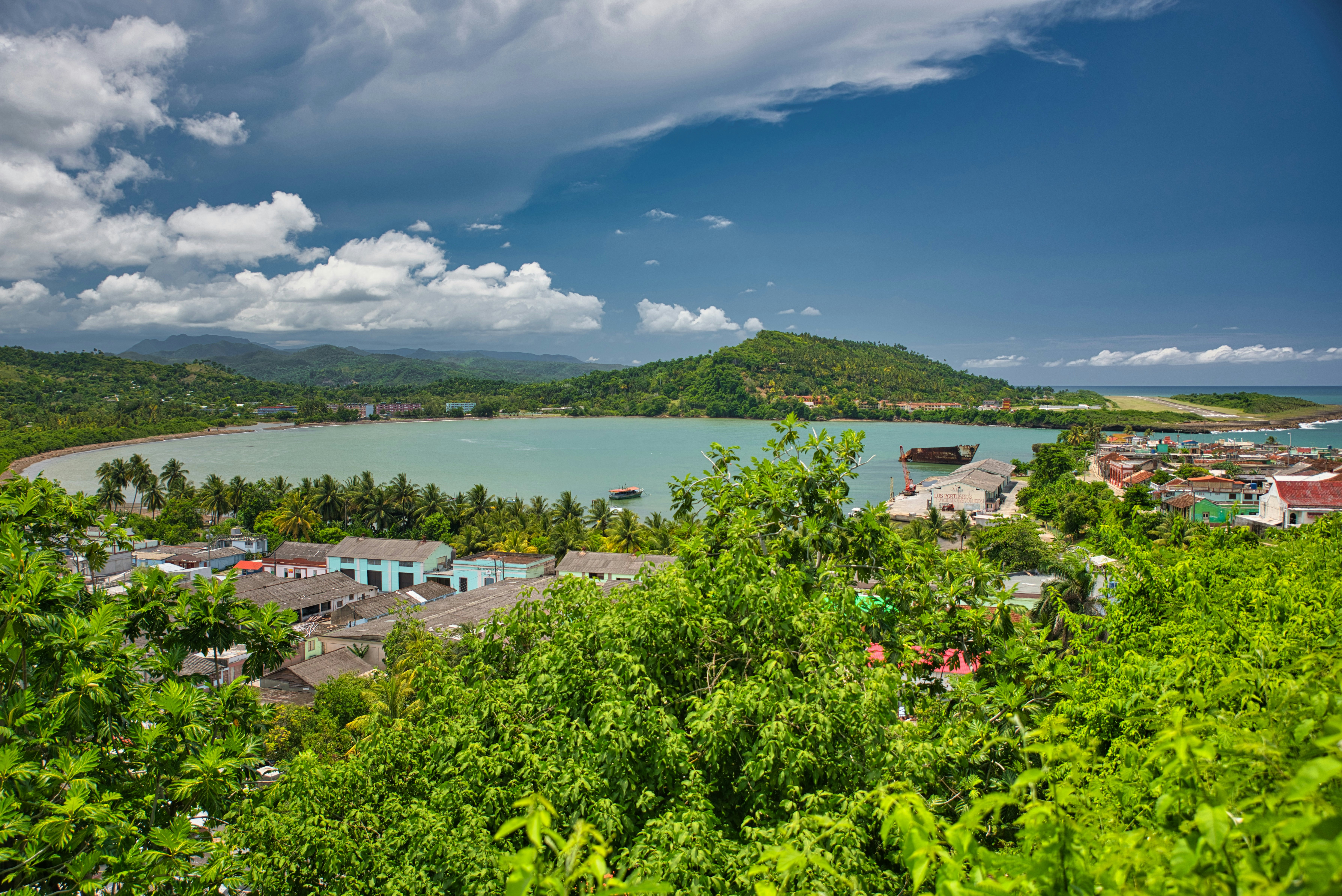
Most hikers base themselves in the charming village of Baracoa, where you can purchase excursions and transportation to the park. The 7km-long Balcón de Iberia trail from the Santa María community to the 25m-high El Majá waterfall is the longest of those available for a one-day excursion. First, you’ll ascend along the edges of a hill, walking past coconut trees, royal palm trees and lower shrubs. In the second part of the hike, the vegetation gets denser, and you might spot hummingbirds and Cuban todies (a small, colorful species of bird) or listen to the distinctive drum-like sound of the tocororo (Cuban trogon).
El Yunque de Baracoa
Best for bragging rights
Length: 8km (5 miles) round trip
Duration: 4 hours
Difficulty: moderate
You cannot come to Baracoa and not climb to El Yunque (the anvil). The flat-topped mountain crowns the landscape of this five-century-old city, and it’s a rite of passage for hikers.
The hike starts at the campismo (local countryside shelter) 3km (1.9 miles) past Finca Duaba. The 8km (5-mile) route up and down this magical mountain can be challenging, especially during the summer months from May to September when high temperatures hit harder in Oriente (eastern Cuba). However, the views from atop El Yunque (575m) and all along the way up are worth the journey. The wildlife here is stupendous – bring binoculars and bank on seeing tocororos (Cuban trogon), zunzuncitos (small hummingbirds), colorful butterflies and the native polymitas (colorful snails). Guides are mandatory here, so be sure to ask yours to save time for a swim in the natural pools at the end of the hike.
Advertisement