Whether seen under blankets of snow, patchworks of blazing fall leaves or the exuberant greens of spring and summer, Vermont's blend of bucolic farmland, mountains and picturesque small villages make it one of America's most appealing states.
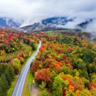
Vermont attracts leaf-peepers to goggle highlights including the Green Mountains and Champlain Valley as they light up with bright oranges and yellow hues. Leaf-peeping is such a popular activity in the region, Vermont has a leaf color tracker, a great reference for planning.
Here are five destinations to venture out to for a truly scenic road trip.
Green Mountain Byway
Start: Waterbury Village; End: Cambridge; Distance: 71 miles
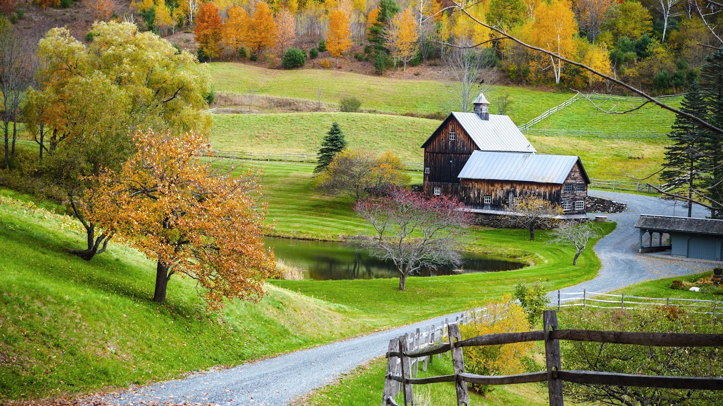
Following Vermont's Green Mountain spine through the rural heart of the state, the Green Mountain Byway rambles past rolling pastures dotted with cows, covered bridges and white-steepled churches. This scenic drive takes you along the famed VT Route 100 and travels onward to Routes 15 and 15A, passing through historical villages and tiny towns with country stores.
It's the quintessential trip for those who want to slow down and experience Vermont's pastoral essence. Along the way, you'll pass through six Byway towns including Waterbury, Stowe, Morristown, Johnson, Hyde Park and Cambridge. Each offers historic town centers, local shops and restaurants and multiple places for year-round recreation. This drive is particularly popular during leaf-peeping season so expect to drive slowly.
Even if your time is limited, don't miss the section between Waterbury and Stowe Village. Stop at the Ben & Jerry's Factory for a tour, pop into Cold Hollow Cider Mill for donuts and visit the Vermont Ski and Snowboard Museum.
Best places to visit in Vermont
The Notch
Start: Stowe; End: Cambridge; Distance: 3.5 miles
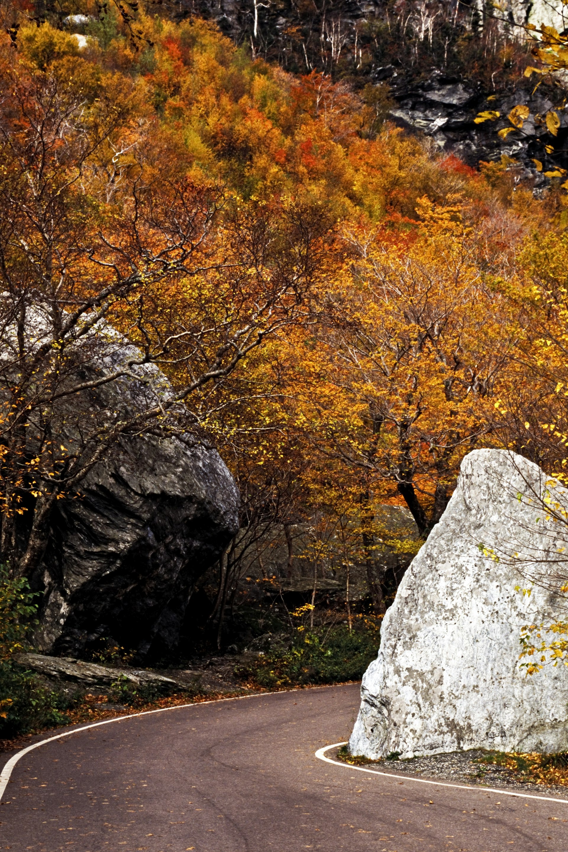
The Smugglers' Notch Scenic Highway is a small segment of the Green Mountain Byway, filled with dramatic twists and turns. Worth the detour, this section of Route 108, affectionately known by locals as "The Notch" (3.5 mi), is only open seasonally for cars from May through October.
This spectacular drive is lined with large boulders and goes through the Mount Mansfield State Forest. With several opportunities along the way to stop for photos, this short journey takes you between two of Vermont's well-known ski resorts.
Begin just past the Stowe Mountain Resort and end at Smugglers' Notch Resort in Cambridge. At just about the halfway mark, stop for hiking the Sterling Pond Trail (2.3 mi), a moderate trek with steep rock stairs and a mountain pond at the top that is suitable for swimming.
Vermont's 7 best hiking trails
Lincoln Gap Road
Start: Lincoln; End: Warren; Distance: 7.6 miles
The Lincoln Gap (2424 ft) is the highest mountain pass accessible by cars in Vermont. This steep, curvy road between Lincoln and Warren is closed in the winter months for obvious reasons. However, summer is the ideal time to make this drive, which allows for a respite at a popular Vermont swimming hole.
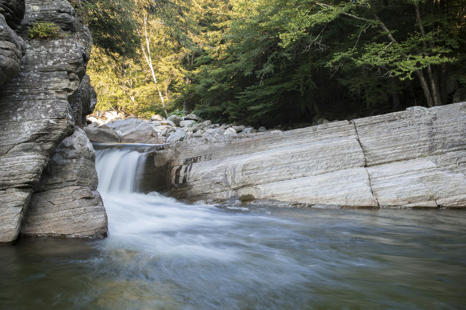
Coming from Bristol on VT-116, begin your drive by turning on Lincoln Gap Road after crossing over the New Haven River. Less than one mile down the road on the right-hand side, make a pitstop at Bristol Falls (also known as Bartlette Falls), with a large waterfall and deep pools perfect for cooling off. This drive ends on VT-100 near the renowned Warren Store, one of Vermont's most famous country stores, which is an excellent spot for lunch.
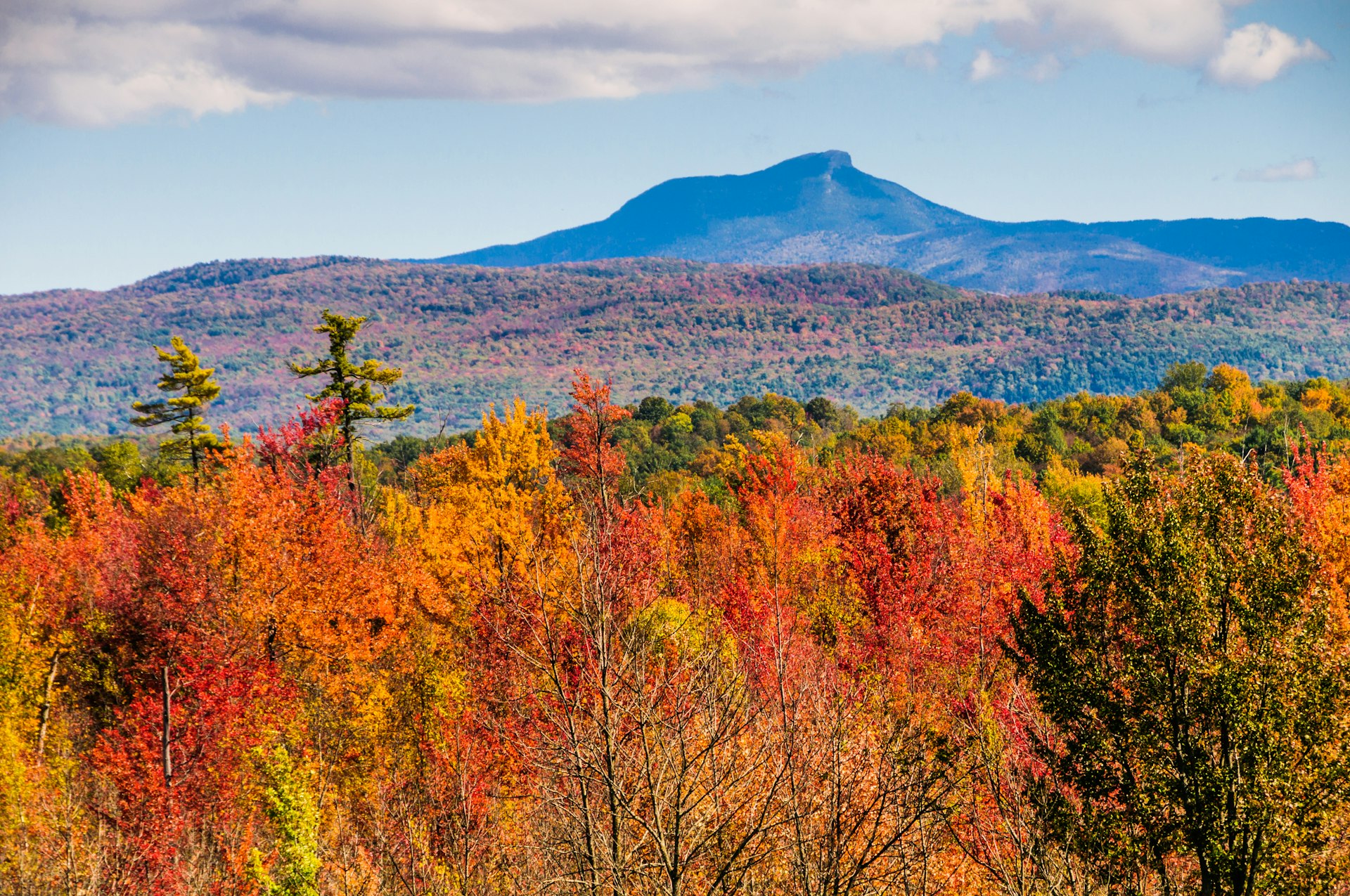
Camel’s Hump
Start: Burlington; End: Huntington; Distance: 26.3 miles
The state's third-highest mountain – is a familiar image to Vermonters: its silhouette is visible on the Vermont state quarter, from suburban Burlington and along I-89. Yet, it remains one of the state's wildest spots, one of the few significant Vermont peaks not developed for skiing.
To get here from Burlington, detour south off I-89 at Richmond (between Burlington and Waterbury), take US 2 east to Richmond's main stoplight. Head south on Bridge Street through town, where you can grab food and drinks for the hike at Richmond Market.
Then drive south 10 miles to Huntington Center, where you'll turn left (east) 3 miles, dead-ending at the parking lot and trailhead for the 6-mile Burrows – Forest City loop to the summit. After climbing through the forest, the final ascent skirts rock faces above the treeline, affording magnificent views of the Adirondacks and the Green and White Mountains.
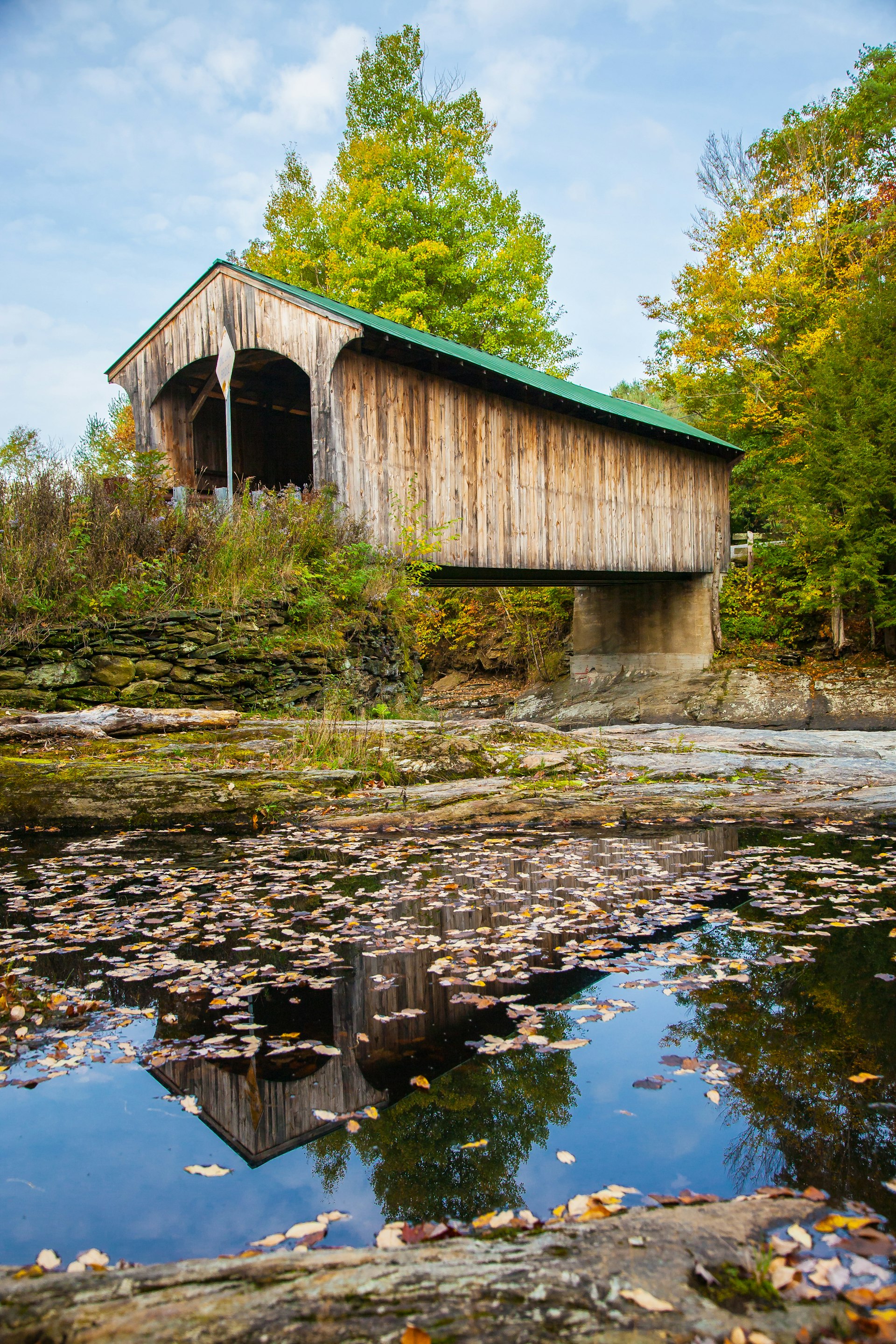
Covered bridges
Vermont has more covered bridges per square mile than any state in the union. Here are over favorites in the state:
Northfield Falls (northern Vermont): This small town 8 miles south of Montpelier has a unique claim to fame: three covered bridges in a row! Turn west off VT-12 onto Cox Brook Rd and you'll see Station Bridge, Newell Bridge and Upper Bridge – all within a few hundred feet of each other.
Montgomery (northern Vermont): This village, which is 9.5 miles from Berkshire, has a whopping seven covered bridges, more than any other town in the state.
Windsor (central Vermont): Spanning the Connecticut River from Windsor, VT, to Cornish, NH, the 449ft Cornish-Windsor Bridge is the longest historical covered bridge in America still open to automobile traffic.
Bartonsville (southern Vermont): The original 19th-century bridge was famously swept away in Hurricane Irene's floodwaters in 2011. But in classic Vermont fashion, locals rallied to have a replica reconstructed. The bridge reopened to the public in January 2013. It's 7 miles northeast of Grafton on VT-35N.
You might also like:
The ultimate New England fall foliage road trip
How to road trip New England on a budget
Audiobooks to narrate your US road trip
This article was originally published in September 2020 and updated in September 2021.